
Smarter land development starts with better answers.
Ascend AI shows developers, landowners and land professionals what a property allows and what it could become, in minutes instead of days of bylaw research.
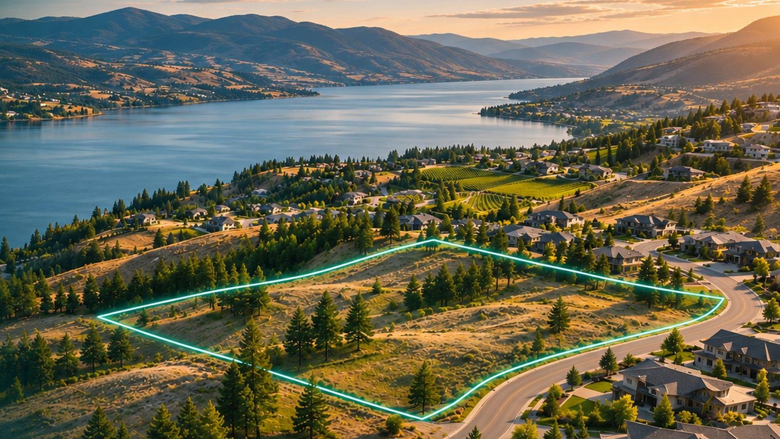
The technical, fragmented rules for your site, gathered into one analysis, with the source behind each one.
Know before you spend
Read the rules before a site gets a budget.
The rules in one place
Zoning bylaw, community plan and provincial mapping, read together.
A way forward when the answer is no
Routes from a variance to a rezoning, with the approvals each one needs.
The answer you need first comes last.
Can I subdivide? How many homes can go here? What's going to stop me?
Money spent on a site the rules never allowed.
The answer usually turns up after the offer, not before it.
The fix: a clear read of what the bylaw allows on the site, before it gets a budget.
A number that doesn't survive the first hard question.
A guess doesn't survive a conversation with a lender.
The fix: every figure links back to the bylaw it came from, with the math behind the number of homes laid out.
Days lost to a dozen tabs.
One address, a zoning bylaw, a community plan, and a Friday afternoon you're not getting back.
The fix: enter the address once and get the bylaw, the community plan and the provincial mapping read together.
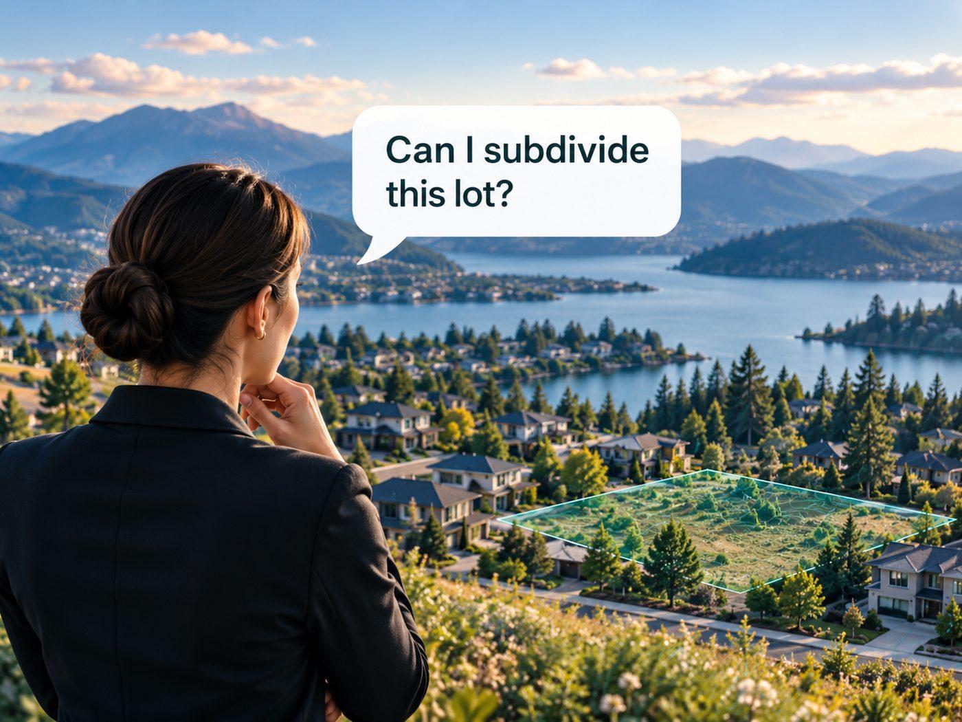
Now the answer comes first.
Three steps from an address to what the site allows.
Start with an address.
Confirm the right parcel first.
Type an address or click lots on the map, and add the lots next door if the site works together. A free check shows the parcel ID, lot area and zone on the map before you spend anything.
Get the analysis.
The full picture of the parcel.
Uses, the number of homes, setbacks, height, coverage, site checks, terrain and your development options, read from the bylaw that governs that parcel, not summarized from a general zoning map.
When the answer is no, see what it would take.
A blocked site with a next step.
See the routes that could get there, from a variance to a rezoning, and the approvals each one needs, starting with a pre-application meeting.
What the analysis shows for your property.
The six things that decide what a site can become.
 Illustrative example
Development options, including subdivision.
What the rules leave open, and the routes beyond.
Whether the lot can be subdivided and how many lots could fit, and whether a secondary suite is allowed. When a site needs more, two to four routes, each with its status under the zone and its key constraint.
What you can build, and how much.
The numbers every deal starts with.
Every permitted and conditional use, the number of homes allowed, setbacks, height and site coverage, each cited. In apartment zones, the floor area rules and the bonuses that could add to it.
Site checks.
What could stop a design, found early.
The Agricultural Land Reserve, riparian and aquatic development permit areas, floodplain mapping, registered interests such as rights of way, and slope, each with its source and the date it was retrieved. Riparian and floodplain mapping are checked where the layer is published for the area, and flagged where it isn't. Anything still open goes into your next steps.
Terrain.
The ground, before you commission a survey.
Slope, elevation, contours and aspect from 1 m provincial lidar, the share of the lot at 30% or steeper, and the largest steep patch, so grading and access questions come up now.
Compare lots.
Choose between sites on the facts.
Put two to four saved analyses side by side: zone, site area, maximum homes, coverage limit, the site checks and the bylaw version, with the differences marked. Export the comparison as a PDF.
Ask the bylaw.
A question the analysis didn't answer isn't a dead end.
Ask a follow-up in your own words, inside an analysis or on its own, like "how do I get three lots here", and get an answer grounded in the bylaw.
An approvals process has two clocks.
We give you days back on yours. We don't make a city move faster.
Your clock.
The part you control.
From the day a site lands on your desk to the day you apply: which rules govern the lot, how they read against the community plan, and whether the site is worth another dollar. Ascend AI compresses days of that bylaw research into minutes.
The city's clock.
The part nobody shortens from the outside.
The intake queue, the referrals to other departments, the engineering comments and the council calendar. That belongs to the city, and we won't tell you we can shorten it.
The meeting you walk into.
What preparation changes.
Arrive with the zone identified, the numbers in hand and the open items named, and you get a meeting that moves your project forward, not one that ends in "go and find out, then come back".
 Illustrative example
More land. More possibilities.
Some sites only work together. See how they work as one.
Add the lots next door.
Build the site on the map.
Pick a lot, then select the adjoining parcels that share a boundary with it.
One combined analysis.
The rules across the whole site.
The combined site area, site checks run on every parcel, and terrain read across the whole site. Where the parcels are zoned differently, it says so plainly and shows how the yield depends on the rezoning route.
Saved as one project.
Come back as the deal moves.
Every parcel stays in one project, ready when you return.
Every number, sourced.
Checking a number means opening that section, not starting the research over.
Section and page.
On every figure, one tap from the source.
Each number carries the bylaw section and page it was read from. Tap it and the source document opens at that page. Lot area cites its source, and slope cites the lidar it came from. Each analysis records the bylaw version it used. Source bylaws are checked for changes every day, and each change is reviewed before it is used.
The working behind it.
How each number was reached, not just the number.
It opens with a summary, then lays out the arithmetic, a risk summary with each top risk rated for likelihood and impact and paired with what to do about it, and a citations appendix listing every source it relied on.
Next steps, named.
What to confirm, and who to call.
The next steps come in order and name who handles each one where they can: the pre-application meeting, a surveyor, a civil or geotechnical engineer, an arborist, or the municipality.
 Illustrative example
Built for the people who decide what gets built.
The same analysis, framed for the decision in front of you.
Developers and builders.
Sort out which sites deserve a budget.
Screen infill lots, apartment sites and land assemblies, drop the ones the bylaw already rules out, and take a number you can defend to your lender, your partner and your pre-application meeting.
Property owners.
Find out what your land can become.
In plain language: how many homes the lot could hold, whether a suite fits or the lot can be subdivided, and the options if it can't. When you bring in a professional, you both start from the same page.
Land professionals.
Keep your hours for the judgment calls.
Lookup goes faster, so consultants put their time into the calls only they can make, and newer staff learn by asking the bylaw directly. Real estate agents answer "what could be built here" with the parcel's legal description and ID in hand.
"It gives me the confidence to guide a client's decision on a property."
Questions, answered.
What people ask before they run their first analysis.
How many homes can I build on my lot?
The number, with the arithmetic and the source.
It depends on the zone and the lot. Ascend AI reads the zoning bylaw for your address and gives the number of homes it allows, with the arithmetic and the section and page. In an apartment zone it cites the floor area rules and the bonuses that could add to them, and where BC's small-scale housing rules could add homes, it flags that for you to confirm with the municipality.
Can I subdivide my lot?
Whether it can, and how many lots.
Ascend AI works through whether your lot can be subdivided under its current zoning, as separate lots or a bareland strata, and how many lots could fit. If it can't, it lays out the other routes open to you.
Do I still need a consultant or an engineer?
Ascend AI supports them. It doesn't replace them.
For understanding your own site, no. That is what this is for. When your application needs sealed drawings or reports, the professionals prepare and sign them. What changes is what you hand them: a specific question with the numbers already found, instead of a blank page.
Explore the potential of your property.
Start with an address. See what's possible.
Analyze a property.
No card needed.
Create a free account and open a complete example analysis.
Analyze a propertyWatch how it works.
One property, start to finish.
See an address become a full analysis.
Watch the video